| The Local Time is Saturday, 27-Apr-2024 16:59:14 CEST |
Tour Maps of the Cotswolds |
|
|||
| YOU ARE HERE: Main Home Page > Tour Maps |
|
|
|
|

|
|||||
Use this map to get directions |
|||||
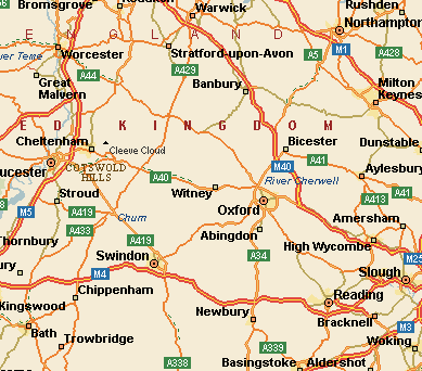
Map of the Cotswolds
The Cotswolds Map generally takes up an area from Worcester due north to Bath due south, across to Oxford and then north to Stratford-upon-Avon. The region is delineated by the belt of rich limestone and of course by the beautiful cottages, fine buildings, and churches built of this material. Usually, the limestone in the northern Cotswolds is a rich honey coloured brown which gradually grades creamier the further south you tour. |
|||||
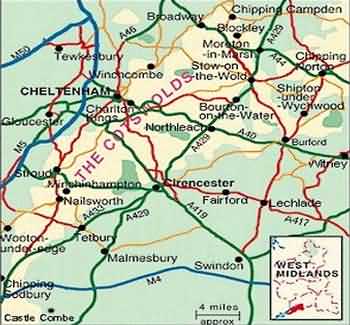
Larger Scale Map of the Cotswolds Region |
|||||
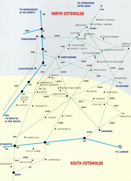
Interactive Map of the Cotswolds
Click on the place names to get comprehensive information |
|||||
|
|||||
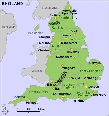
Map of the English Counties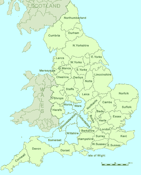 Note: The six English Counties that make up parts of the Cotswolds Region (Warwickshire, Worcestershire, Gloucestershire, Oxfordshire, Somerset & Wiltshire) |
|||||
Tour Maps of the Cotswolds |
|||||
| This page last modified Thursday, 11-Feb-2021 13:23:42 CET | |||||
|
Cotswolds.Info LLP, 6 Cedar Shade, All Saints Road, Sidmouth, Devon, England UK EX10 8EU Managing Partner, Richard Pinder, E-Mail richard.pinder@cotswolds.info
Please Note: We do not supply Cotswold Holiday brochures - contact the local Contact Us About Us Site Index Advertising Opportunities This website is designed and managed by www.cotswolds.info Copyright © 2002 to 2023 All rights reserved |